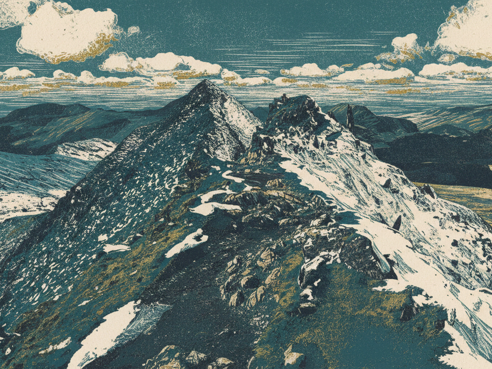
Yr Wyddfa (Snowdon) stands as Wales’s highest peak, the mountain that defines Eryri (Snowdonia). What you’re seeing is something older than the Alps, older than the Himalayas and far older than the dinosaurs themselves. The rocks forming this mountain were created approximately 458-457 million years ago.
But here’s the twist. The distinctive pyramidal peak we recognize today, with its sharp ridges and steep faces, was sculpted much more recently by glaciers that retreated only 12,000 years ago. Geologists call Yr Wyddfa “a time machine in cross-section,” and they’re right. The mountain’s story spans volcanic apocalypse, continental collision on a Himalayan scale and hundreds of millions of years of patient erosion.
This is the story of how Yr Wyddfa was made.
A Mountain Older Than Dinosaurs
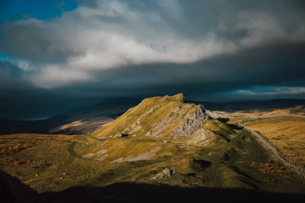
Let’s establish the scale. The rocks that form Yr Wyddfa were born around 458-457 million years ago during the Ordovician Period, making them older than almost any mountain range you can name. Dinosaurs didn’t appear until roughly 230 million years ago, which means these volcanic rocks watched the entire age of reptiles come and go.
The shape we see today, however, is much younger. That sharp pyramid, those knife-edge ridges, those bowl-shaped hollows carved into the mountainside are all the work of Ice Age glaciers. The mountain has lived through catastrophic violence and patient sculpting. What stands today are the ruins of something once far greater.
Birth in an Ancient Ocean
The World 458 Million Years Ago
Wales didn’t exist. Not as we know it. What would become Wales was part of a microcontinent called Avalonia, submerged beneath the ancient Iapetus Ocean (a precursor to the Atlantic). Avalonia lay in the southern hemisphere, far from its current position, and the area that would one day become Eryri sat near the edge of this drowned landmass, where marine sediments accumulated on the seabed.
Around 458-457 million years ago, during what geologists call the Soudleyan Stage, the Earth’s crust collapsed beneath the ocean. A massive volcanic caldera formed (a depression created when a volcano’s magma chamber empties and the ground above collapses) and the eruptions that followed were catastrophic beyond imagination.
The Volcanic Cataclysm
These weren’t small events. Enormous underwater explosions produced ash flows of rhyolitic tuff (volcanic ash that has been compacted into rock), creating deposits up to 500 metres thick. For perspective, that’s about the height of a 150-storey building. The violence of these eruptions created islands of volcanic material rising from the seafloor, and the current summit of Yr Wyddfa lies near the northern edge of this ancient caldera.

The Rocks Created
The eruptions produced what geologists call the “Snowdon Volcanic Group”, hard, resistant rocks that now dominate the higher ridges. These include rhyolitic tuffs (compacted volcanic ash from explosive eruptions), rhyolites (volcanic rock formed from viscous lava) and volcanic lavas (solidified flows of molten rock). Interspersed with these are sedimentary rocks, marine sediments (muds and sands) that accumulated on the ocean floor before and between the volcanic episodes.
Evidence Preserved in Stone
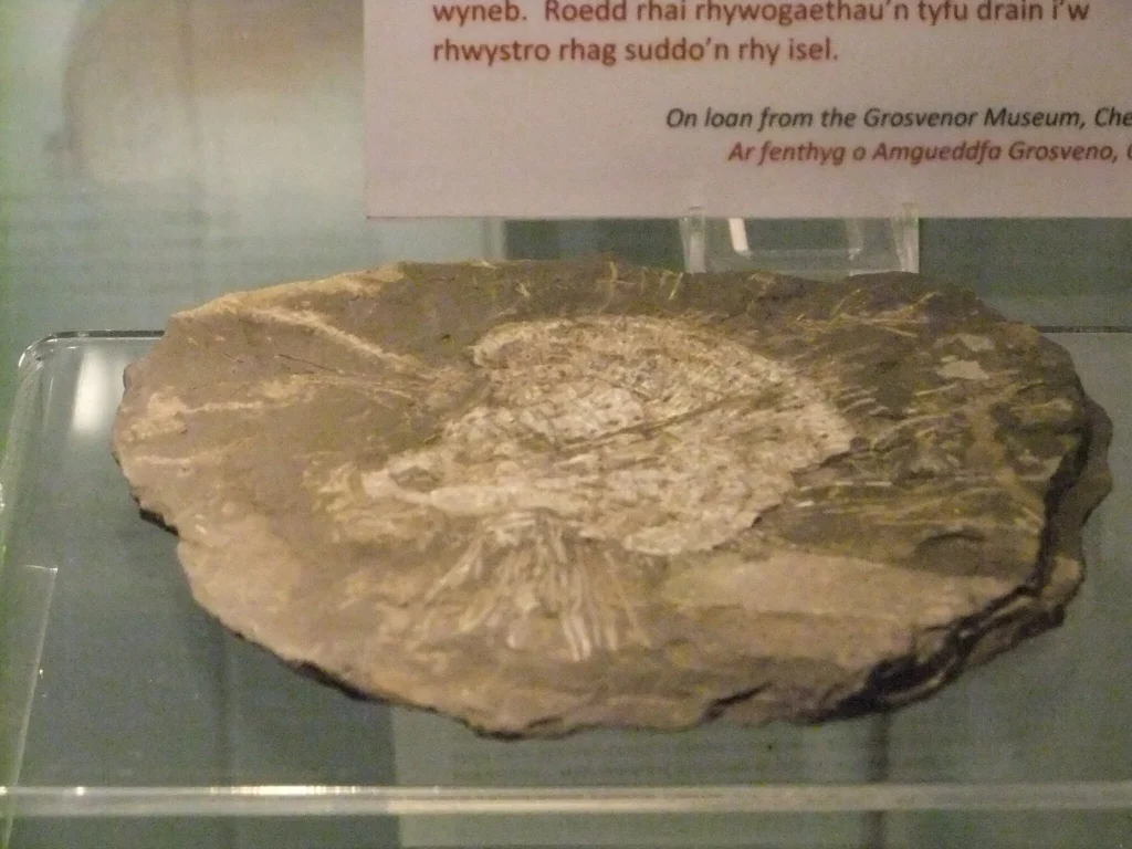
The proof that Yr Wyddfa was once underwater still exists today. Shell-shaped fossils (Brachiopods, typically 1-4cm across) can be seen in the bedrock at the summit, confirming that 500 million years ago, Wales’s highest peak was on the seabed. These fossils predate the volcanic activity, showing the “before” picture.
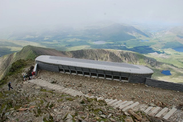
In Victorian times, guides would collect or chip out fossils to sell to tourists, which is why they’re now rarer than they once were. One curious detail: a floor inscription in Hafod Eryri (the summit building) incorrectly states the fossils are 165 million years old. They’re not. They’re actually around 500 million years old, a mistake worth noting if you visit.
Yr Wyddfa’s volcanic rocks contain magnetic minerals that can interfere with compasses, a practical concern for navigators. The rocks also accumulate cosmic-ray spallation isotopes (rare elements formed when cosmic rays from space smash into minerals), which geologists measure to study how long rock surfaces have been exposed since the glaciers retreated.
The Caledonian Mountains: Higher Than Everest
Continental Collision
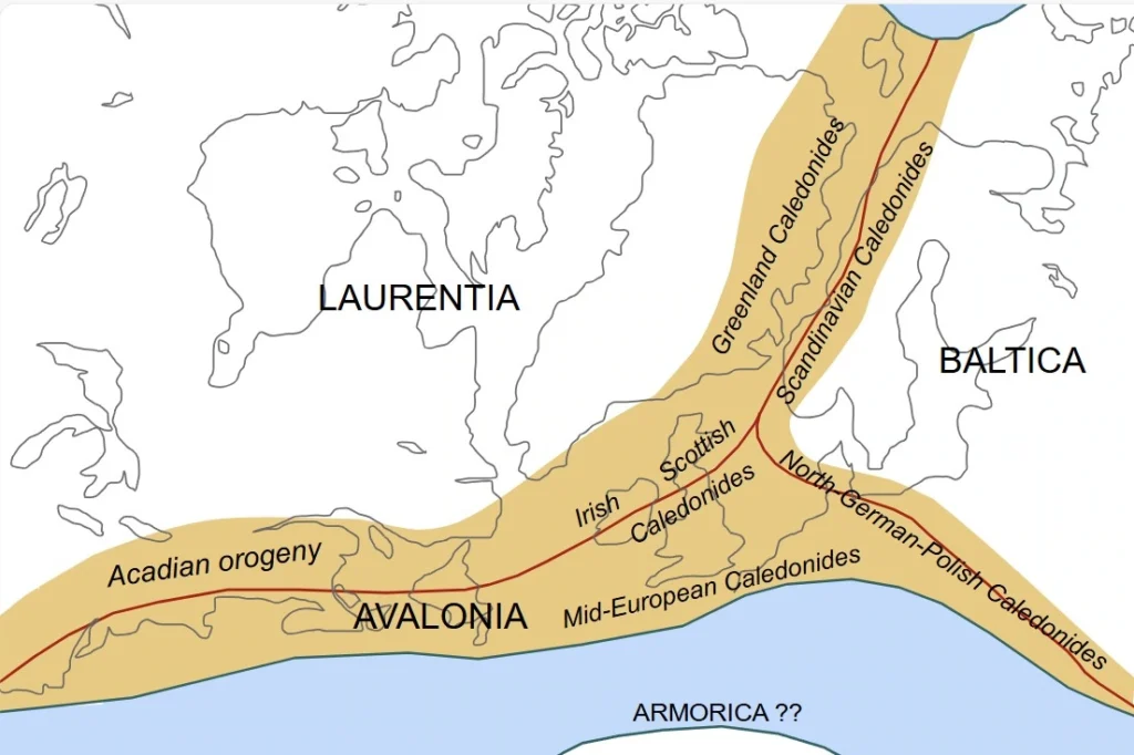
Roughly 400-350 million years ago, the Iapetus Ocean gradually closed as tectonic plates shifted. Two ancient continents collided: Avalonia (containing Wales) and Laurentia (containing parts of what is now Scotland and North America). This continental collision is called the Caledonian Orogeny (an “orogeny” is a mountain-building event) and it occurred during the Silurian to early Devonian periods.
The Squeezing and Folding
The impact was immense. The Welsh Basin (the area of accumulated sediments) was thrust upward, rocks were folded, cleaved and uplifted under pressure that’s difficult to comprehend. Rock was exposed to huge heat and force and squeezed upwards, creating the Caledonian Mountains.
Here’s the scale: The Caledonian Mountains are believed to have reached around 7,000 metres tall. For comparison, Mount Everest is 8,849m and K2 is 8,611m. The Caledonian range would have rivalled today’s Himalayas, and Yr Wyddfa was part of this massive mountain chain.
The Great Erosion
Since their peak 400 million years ago, these mountains have been slowly eroding. Water, wind, frost and time have worn down approximately 6,000 metres of rock. What we see today are the “ruins” of once-mighty mountains, and this erosion continues. Eventually, Yr Wyddfa will disappear entirely, swallowed up by the relentless passage of time.
The softer sedimentary rocks eroded more quickly while the harder volcanic rocks (being more resistant) remain as the high peaks. This is why the highest points in Eryri are volcanic in origin.
Metamorphism and Slate Formation
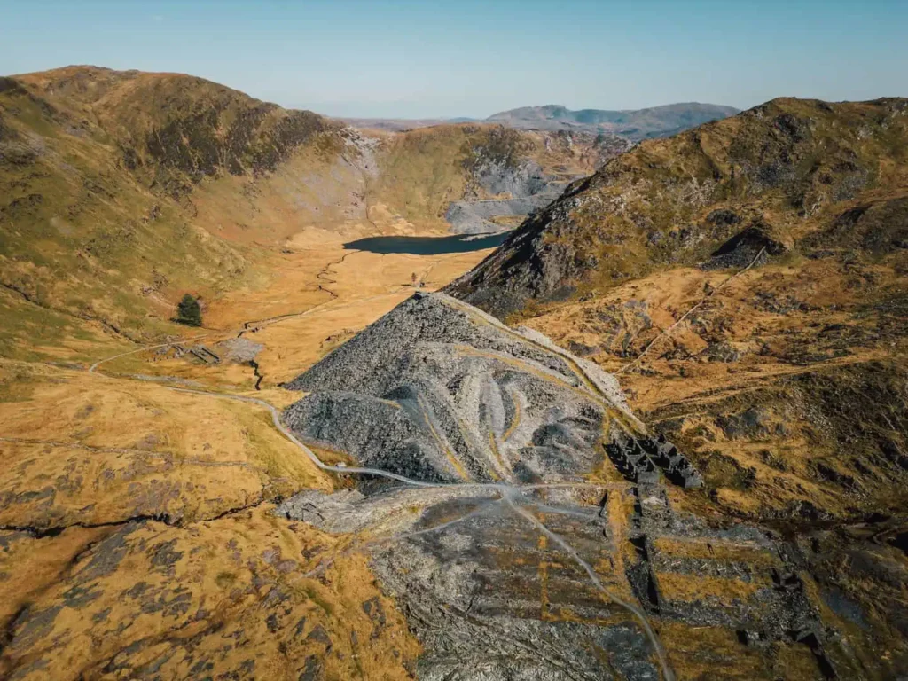
The intense pressure and heat during the collision transformed some rocks. Mudstones were metamorphosed (changed by heat and pressure), producing the famous Welsh slate that would later become economically vital to the region.
How Ice Age Glaciers Sculpted Yr Wyddfa’s Pyramid Peak
The Last 2.6 Million Years
The Quaternary Period (last 2.58 million years to present) brought repeated ice ages. Massive ice sheets and glaciers formed, advanced and retreated multiple times. The last major glaciation peaked around 18,000 years ago and ended approximately 12,000 years ago. This is when the mountain we recognize today emerged.
The Welsh Ice Cap
An independent ice mass (the Welsh Ice Cap) covered most of Wales during the Late Pleistocene. At the global Last Glacial Maximum (around 27,500-23,300 years ago), it connected with the larger British-Irish Ice Sheet, creating an ice cap over 1,000 metres thick at its peak.
By around 21,000-20,000 years ago, the larger ice sheet retreated northward. Between 20,000-16,000 years ago, the Welsh Ice Cap rapidly thinned, marking a transition from thick ice cap coverage to alpine-style glaciation (smaller glaciers in mountain valleys). This is when the real sculpting began.
How Glaciers Carve Mountains
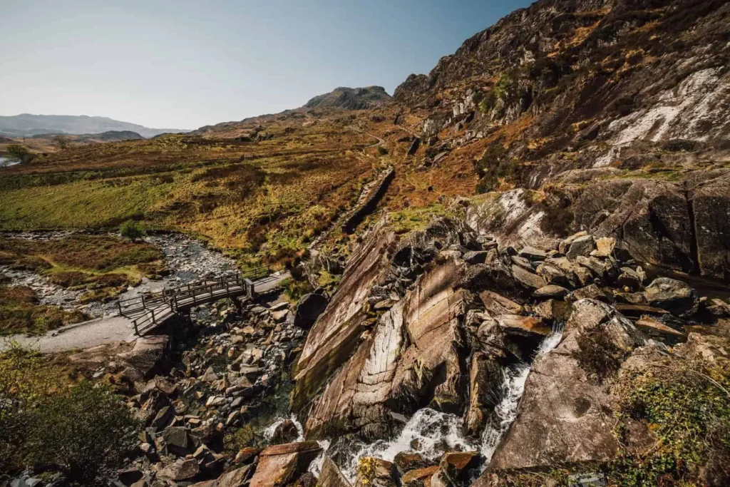
Glaciers are essentially large rivers of ice, compacted snow pulled downhill by gravity, and they are one of the most erosive forces on bedrock. They carve through two main processes: plucking (ice freezes to rock, then tears pieces away as the glacier moves) and abrasion (rocks frozen into the glacier’s base act like sandpaper, grinding and gouging the bedrock).
Cwms: The Armchair Hollows
Cwms (called corries or cirques elsewhere) are armchair-shaped hollows carved into mountainsides. They form on sheltered north-facing slopes where snow accumulates, ice builds up, compresses and begins rotational movement. Freeze-thaw weathering at the back wall causes it to retreat, cutting deep into the mountain. The floor is over-deepened by the rotating ice, and a rock lip forms at the front edge.
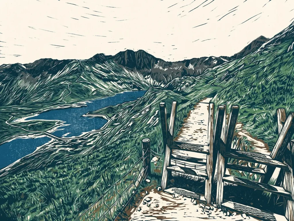
Examples around Yr Wyddfa include Cwm Dyli, Cwm Tregalan and Cwm Clogwyn. When the ice melts, these often fill with water to form corrie lakes (tarns). The largest on Yr Wyddfa is Llyn Llydaw (110 acres, located at 440m elevation on the eastern flank), with others like Glaslyn (in a dramatic setting below the summit) and Llyn Teyrn.

Arêtes: The Knife-Edge Ridges
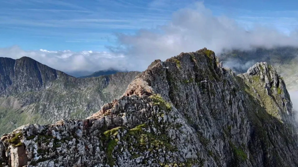
When two cwms form back-to-back or side-by-side, erosion from both sides creates a narrow, sharp ridge between them. The ridge becomes progressively steeper and more defined as both cwms deepen. These are called arêtes (pronounced “ah-rets”).
Crib Goch is the most famous arête on Yr Wyddfa, approximately 500 metres long and considered one of Britain’s finest ridge walks. Crib y Ddysgl and Y Lliwedd are other dramatic arêtes on the mountain, all created by freeze-thaw weathering and mass wasting beneath the ice surface.
The Pyramidal Peak
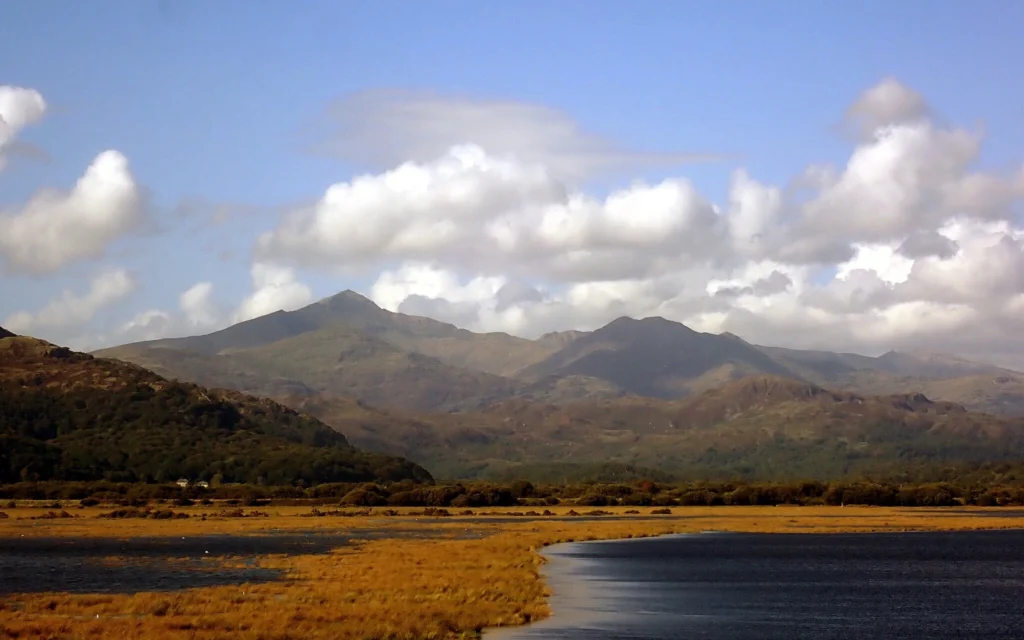
When three or more cwms erode a mountain from different sides, they converge on a central point. As the cwms erode backwards toward each other, the remaining rock is weathered into a sharp point, creating a pyramid-shaped peak with steep walls on multiple sides. Yr Wyddfa’s summit is a textbook example of this process. The summit is formed where multiple arêtes meet at the highest point.
U-Shaped Valleys
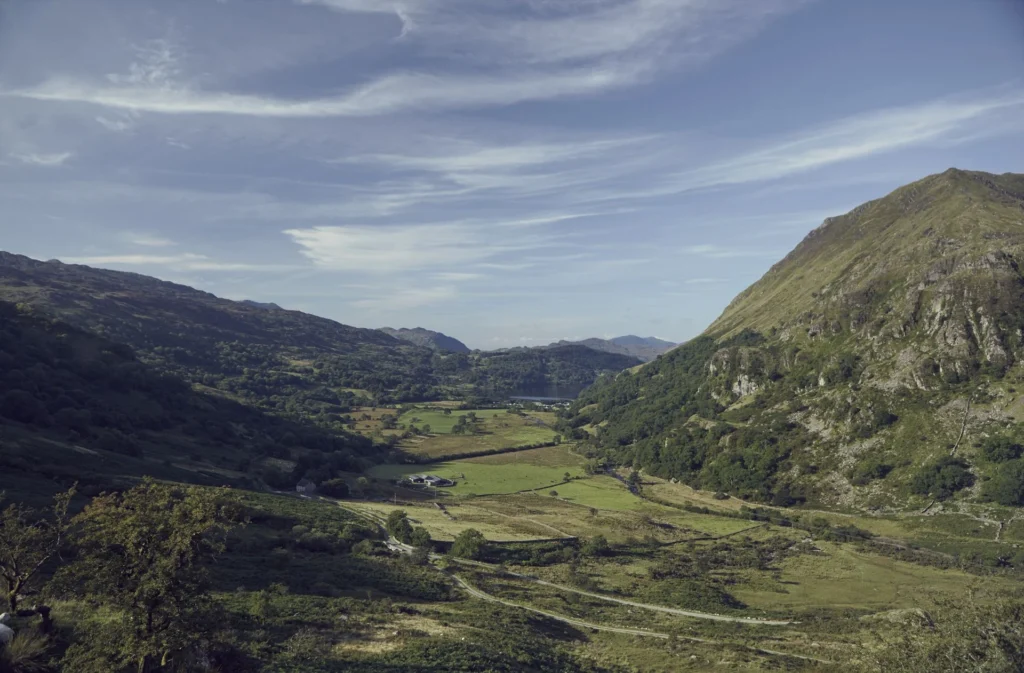
Valley glaciers (larger glaciers flowing down existing river valleys) transformed V-shaped river valleys into U-shaped glacial troughs. The enormous weight and abrasive power of the ice widened and deepened the valleys, creating very steep valley sides and flat valley floors. Examples include the Llanberis valley, Nant Gwynant valley and Nant Peris valley.
Original river tributaries now enter these main valleys high up on the sides, creating hanging valleys with waterfalls. These formed in basins over-deepened by glacial plucking, and some formed behind moraines (deposits of rock and debris left by retreating glaciers).
Other Glacial Features
Roches moutonnées are smooth, streamlined rock formations created by glacial abrasion. Glacial erratics are boulders transported by ice and deposited far from their origin; some rocks on Yr Wyddfa can be traced to distinctive deposits in Ireland and Scotland. Moraines are heaps of rock and debris deposited by retreating glaciers.
Specific Timing for Yr Wyddfa
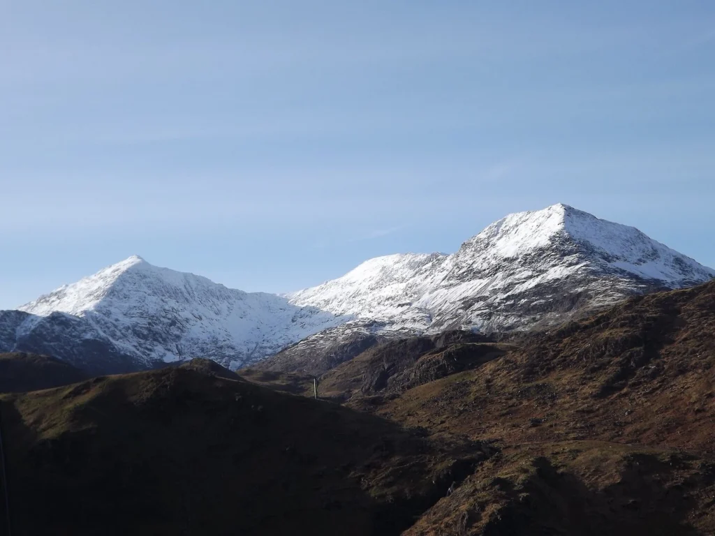
Local ice around Yr Wyddfa breached and abraded the central parts of the Crib Goch to Crib y Ddysgl arête as high as 874m until approximately 16,000 years ago. However, some arête crests show younger ages (4,400-9,300 years ago), reflecting continual post-glacial stripping. The view from the Conwy Valley is essentially the result of this glacial sculpting, frozen in time.
Walking Through Time: A Geological Journey
Geologist Jim Perrin points out in ‘Snowdon: The Story of a Mountain’ that the Llanberis Path takes walkers on “a journey through geological time.” As you climb higher, you encounter progressively older rock layers, a consequence of the folding and faulting during the Caledonian Orogeny.
Near the start, you walk through light-coloured slates and sandstones (younger sedimentary rocks). Around Clogwyn station, you encounter darker slates and massive, fractured rocks of volcanic origin. The final mile exposes lavas from the ancient eruptions, and around the summit, you find slate and ash fossiliferous beds containing fossils from the ancient seabed.
Normally, younger rock is deposited on top of older rock, but the folding during the Caledonian Orogeny complicated this pattern. The overall effect is that lower slopes show younger, softer rocks (which eroded less during uplift) while higher slopes show older, harder volcanic rocks (more resistant to erosion).
Beneath the visible Ordovician rocks lie older Cambrian sandstones, shales, and slates. Further below are Precambrian rocks dating back toward the formation of the Earth itself. The full geological story goes far deeper than what we can see.
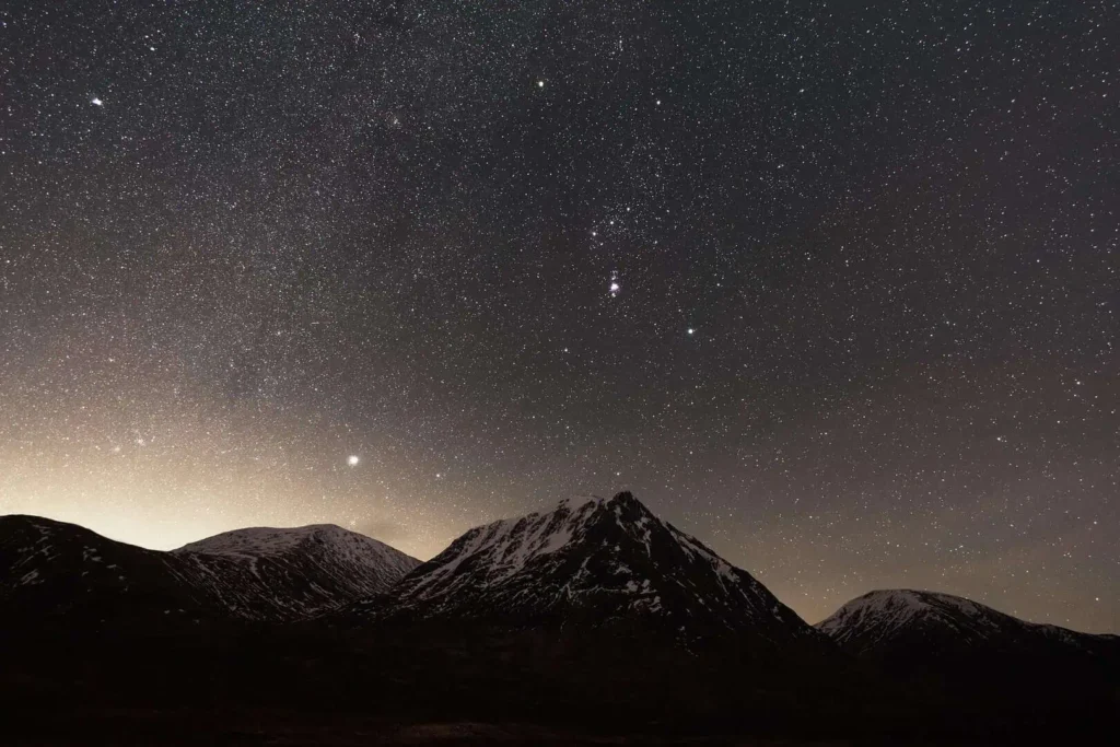
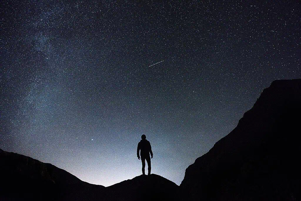
The rocks also accumulate cosmic-ray spallation isotopes (rare elements formed when cosmic rays from space smash into minerals), which geologists measure to study how long rock surfaces have been exposed. The same dark skies that make Eryri exceptional for stargazing create the perfect conditions for these cosmic particles to reach Earth.
The Ongoing Story
Erosion never stops. Freeze-thaw weathering continues to break apart rocks as water seeps into cracks, freezes, expands and shatters the stone. This creates the talus slopes (heaps of shattered rocks) and boulder fields visible today in glacial valleys throughout Eryri’s mountains.
In winter, Yr Wyddfa often has a covering of snow (giving rise to its English name), though snow amounts vary significantly. The slopes have one of the wettest climates in Great Britain, with over 5,100mm (200 inches) of precipitation annually. This moisture drives ongoing erosion.
Eryri is described as “a dynamic region,” constantly changing. Climate conditions may one day return that see the whole area once again covered with ice. Or erosion may continue until the mountains are worn to nubs. The story that began 458 million years ago continues every single day.
A Window Onto Deep Time
Understanding the geological story of Yr Wyddfa turns the view from our cottages from beautiful scenery into something far more profound – a glimpse into deep time. Here in the Conwy Valley, with the Carneddau rising before you and the peaks of Eryri shaping the horizon, you stand among the remnants of explosive volcanoes, continents colliding, mountains once taller than Everest and glaciers that carved the sweeping valleys we see today.
This landscape has endured fire, upheaval and ice. It has been buried, lifted, fractured and sculpted. One day, it too will be worn back down to dust. But for now, it stands – vast, weathered and quietly monumental. From the cottages, you can watch the light travel across these ancient rocks, just as it has since the ice sheets retreated 12,000 years ago, a fleeting human moment set against an almost unimaginable span of time.
FAQs
How old is Yr Wyddfa (Snowdon)?
The rocks that form Yr Wyddfa were created approximately 458-457 million years ago during the Ordovician Period, making the mountain older than the Alps, Himalayas, and even the dinosaurs. However, the distinctive pyramidal peak shape we see today was sculpted much more recently by glaciers during the last Ice Age, which ended around 12,000 years ago.
Was Yr Wyddfa formed by a volcano?
Yr Wyddfa is not itself a volcano and never has been. However, it was formed by volcanic activity. Around 458-457 million years ago, massive underwater volcanic eruptions created a caldera (collapsed volcanic crater) and deposited up to 500 metres of volcanic ash and lava. These volcanic rocks were then uplifted during continental collision and carved by glaciers to create the mountain we see today.
Why is Yr Wyddfa pyramid-shaped?
The pyramidal peak was created by glaciers during the Ice Age. When three or more glaciers (in bowl-shaped hollows called cwms) erode a mountain from different sides, they carve backwards toward each other. The remaining rock in the centre is weathered and sculpted into a sharp, pyramid-shaped point. This is why Yr Wyddfa has such steep faces on multiple sides.
What are the sharp ridges on Yr Wyddfa called?
The knife-edge ridges are called arêtes (pronounced “ah-rets”). They form when two glaciers erode opposite sides of a ridge, creating a narrow, sharp crest. Crib Goch is the most famous arête on Yr Wyddfa. It’s approximately 500 metres long and is considered one of the finest ridge walks in Britain. Y Lliwedd and Crib y Ddysgl are other dramatic arêtes on the mountain.
Can you find fossils on Yr Wyddfa?
Yes, shell-shaped fossils (Brachiopods, typically 1-4cm across) can still be seen in the bedrock at the summit. These are approximately 500 million years old and prove that Snowdon was once underwater on an ancient seabed. In Victorian times, guides would collect or chip out fossils to sell to tourists, which is why they’re now rarer than they once were.
Some images: © Crown Copyright